


Tarun Karthick
Sri Vijaya Puram, 07 December 2025
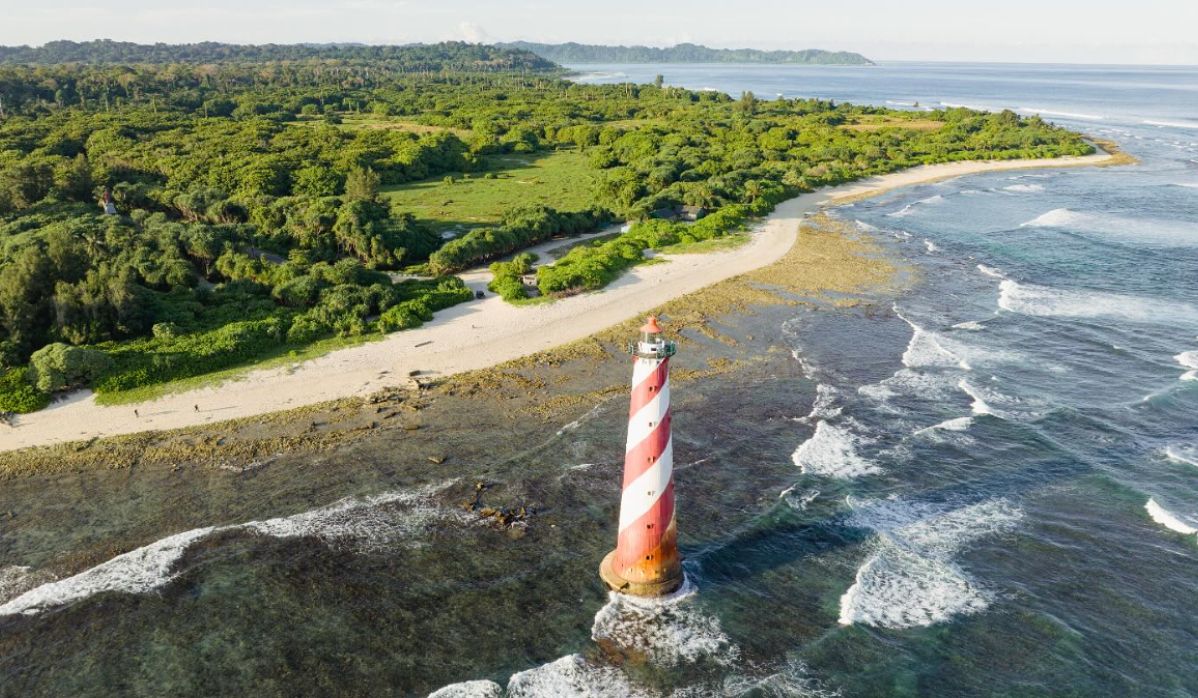
The coastline of the Andaman and Nicobar Islands has now been officially revised to 3,083.50 km following a nationwide reassessment of India’s coastal length carried out by the Government of India. The update is part of a major national exercise in which India’s total coastline has increased from 7,516.6 km to 11,098.81 km, according to information shared by the Ministry of Earth Sciences in Parliament.
The revised figure for India’s coastline reflects new high-resolution mapping carried out by the National Hydrographic Office (NHO) in coordination with the Survey of India. The earlier recorded coastal length for the Union Territory of Andaman and Nicobar Islands was 1,962 km, meaning the new assessment captures coastal segments that were not included in the earlier methodology. The figures were accepted after concurrence from all coastal States and Union Territories and later formalised through a circular issued by the Ministry of Ports, Shipping and Waterways on 29 April 2025.
The nationwide revision shows significant adjustments across multiple regions. Gujarat’s coastline has increased from 1,214.70 km to 2,340.62 km, Tamil Nadu from 906.9 km to 1,068.69 km, and Andhra Pradesh from 973.7 km to 1,053.07 km. Maharashtra’s coastline now stands at 877.97 km, while Kerala has been revised to 600.15 km. West Bengal now has a revised coastal length of 721.02 km, Odisha has 574.71 km, Karnataka 343.3 km, and Goa 193.95 km. Among Union Territories, Lakshadweep now stands at 144.8 km, Puducherry at 42.65 km, and Daman & Diu at 54.38 km.
According to the government, the changes are the result of improvements in mapping technology, including the use of GIS-based tools and detailed electronic navigation charts that capture the High-Water Line with greater accuracy. The Ministry said the earlier coastline figures from the 1970s were based on lower-resolution datasets and conventional measurement methods.
It has been clarified that despite the update in recorded coastline length, there will be no change in Coastal Regulation Zone (CRZ) boundaries, as those are determined through separate High Tide Line mapping undertaken by the National Centre for Sustainable Coastal Management (NCSCM).
The updated coastline measurements are expected to support better planning related to coastal development, maritime infrastructure, disaster-risk management, environmental regulation, and India’s blue economy initiatives.
For the Andaman and Nicobar Islands — a region with strategic maritime significance and a strong dependence on the ocean for livelihood, tourism, and logistics — the revised coastline data is expected to play an important role in future policy and planning exercises at both Union Territory and national levels.